Trekking
I Got So High, I could Touch The Sky

By Saurabh
I had decided to do the Kedarkantha trek earlier this year when a trekker friend of mine went on gushing about it. He had gone up in the winters and inquired of me if I would like to give it a go. Well, I couldn’t have said no and told him I would do it under a June sun.
Located in the Uttarkashi district of the Garhwal Himalayas of Uttarakhand, Kedarkantha mountain rises up to just over 3800 meters and it’s part of the Govind Pashu Vihar Park and Sanctuary.
While most trekkers like to go up the Kedarkantha, which literally means Lord Shiva’s throat, in winters, but if you are my type who wants to wander in the wild alone and explore the treks without bumping into crowds, then May and June are a good months to do so. You meet people on the way but not too many.
So, June it was for me.
I started my journey from Panchkula with one of my friends, Sohan Singh, who hails from Uttarkashi, on a motorcycle on June 8. It was quite a bumpy ride but we clocked over 300 kms and by sundown we were in Purola, a small town in Uttarkashi district and from where Sankri village, the trek starting point, remains just around 54 kms.
Sohan was not keen to accompany me during the trek and preferred to stay at his house in Purola where we spent the night.
Sankri: The trek starting point
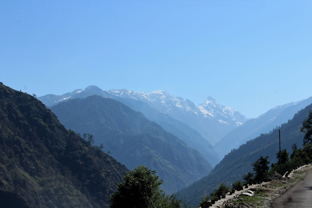
Next day on June 9, I started from Purola on my bike and reached Sankari by 10 am. Between Purola and Sankri, there is a small hamlet, Mori, which is situated on the bank of Tons river. Let me tell you something here: It’s a wonderful drive from Purola to Mori. I crossed tall pine trees on both sides of the well-maintained road, lush green paddy fields with even greener surrounding hills in the background.
Mori is also the last village on this route till Har Ki Doon where you can avail the ATM facility. The lone ATM of the State Bank of India can be accessed only during the working hours of the bank and it remains closed on Sundays.
As you reach Sankri, first fantastic views of the snow-covered mountains start greeting you; Swargarohini is one of the mountain tops visible from here.
After reaching Sankri, the first task I completed was to get a tent and a sleeping bag on rent. I also hired a local guide named, Manoj Kumar, with the help of a local shopkeeper, who rented me a tent and a pair of sleeping bags for two days for Rs 850. The guide agreed to accompany me for Rs 1400 for two days.
I put one of the sleeping bags and the tent in my rucksack, rolled and tied the two mattresses while Manoj arranged a jute bag for carrying another sleeping bag and our food for the trek which included noodles, biscuits, dry-fruits etc.
And before we started off, I took the trek and the night stay permits from the Wildlife Post in Sankri.
The trek
One just needs to walk merely 100 meters from the small market of Sankri village to get to the trek starting point.
It was a sunny day and there was a nice breeze blowing as we got going up. The entire Kedarkantha trek is a mix of steep slopes, plain grounds and green meadows and hardly 20 minutes had passed and I was already sweating like a dog, sorry, pig.
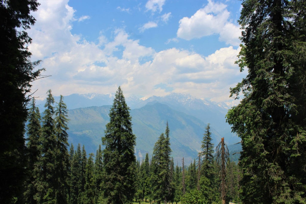
The wind coming down from the tall pine and deodar trees cooled me as I saw Manoj taking big strides and widening the gap between us.
After around 90 minutes or so of continuous trekking with small breaks in between, finally I reached a plain meadow and saw a small dhaba. Manoj was already sitting there and smiled at me when I approached him. Here I took a rest for nearly 20 minutes.
Juda Ka Talab
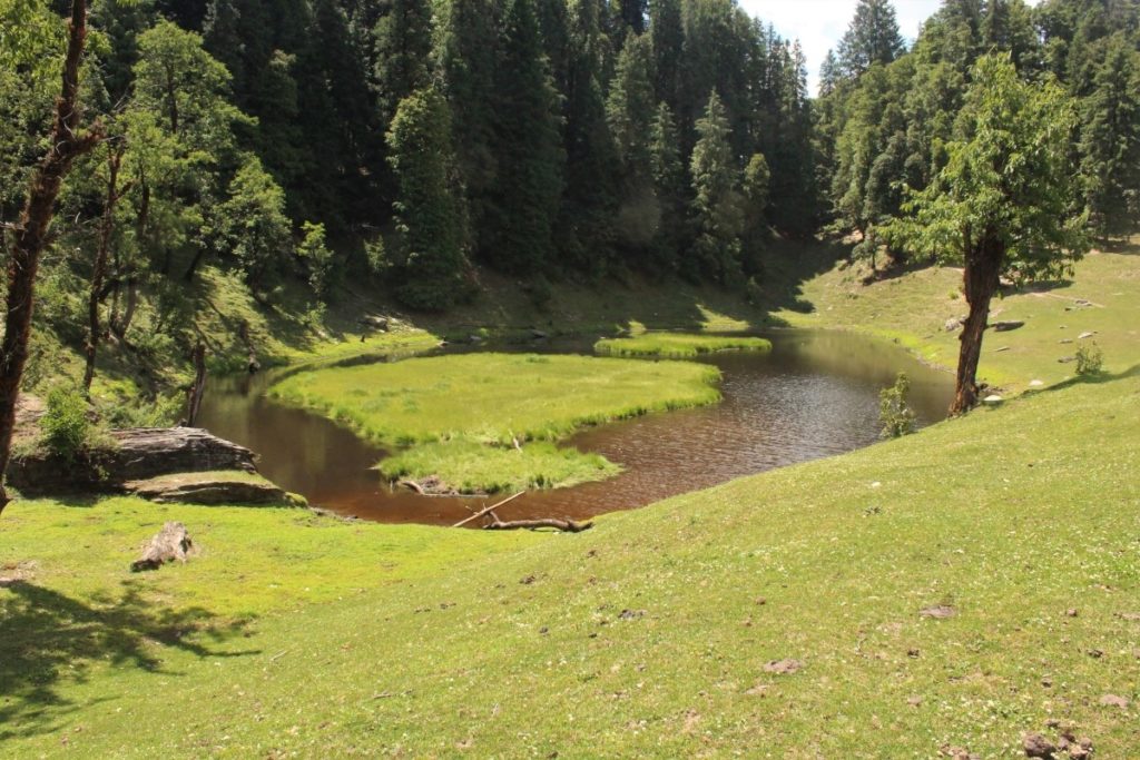
Juda Ka Talab was almost one-and-half kilometers ahead. Now the trek was completely steep. We also crossed two small plain grounds, which were probably camp sites for trekkers. Around 12 pm, I reached picturesque and charming Juda Ka Talab, a small vertical water pond located on the corner of a hill. It is the best camping site on this trek. In winters, the pond gets completely frozen and one can then even walk on it.
Here, I also met two foreign nationals, one of them introduced himself as a teacher at Woodstock School in Mussoorie. They were resting under the shade of pine trees. A green-colored kitchen tent had been pitched near the pond.
I clicked few pictures and rested here for around half-an-hour.
Kedarkantha base camp
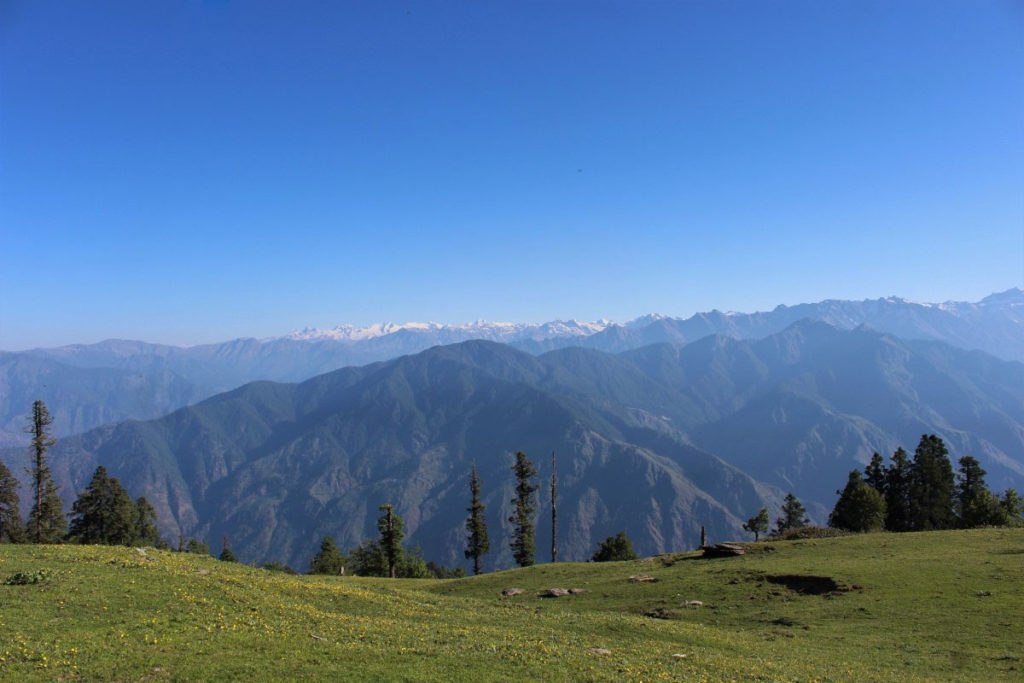
We had decided to spend the night at the base of the Kedarkantha mountain and it was still over three kilometers from Juda Ka Talab. Since the path from here till the base of the mountain was quite steep, it took us some three hours to reach there.
The base camp of the Kedarkantha top is a beautiful meadow. Trekkers mostly prefer to stay here for the night mainly due to the availability of water. In the nearby forest, I saw some sheds under Deodar trees and covered with yellow-colored tarpaulin.
These huts belonged to shephers, who stay here in summers with their herds and shift to plains during winters. Manoj and I pitched our tent on the corner of the meadow as sun had started to go down.
Manoj got up and went out towards the forest to fetch some water for cooking. We both collected some dry woods, which must have been left by trekkers. There was a strong wind blowing but Manoj boasted that he was an expert in lighting the fire under such conditions. He arranged four small but heavy stones, put dry tinder sticks in the middle of woods, lit a paper with a matchbox and put it under the dry sticks. He was right. It worked beautifully. He cooked four packets of noodles. The meal was delicious.
After dinner, we visited the huts of shepherds. I found two aged men, one woman and a girl inside a hut. They all were polite and offered me a cup of milk. I had few words with children and returned to my tent.
Tired and sleepy, we stepped inside our tent and dozed off instantly.
Towards the peak
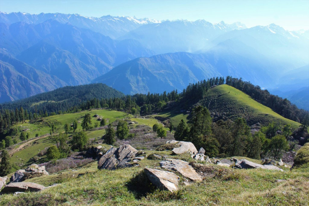
It was June 10. I woke up at 5.45 am. Manoj was lying motionless in his sleeping bag. I dragged myself out of the sleeping bag and gave his shoulder a nudge. He quickly replied, “I got up at 4 am but then went off to sleep again.”
We got dressed, Manoj cooked the left-over noodles for breakfast and by 7 am we were back on our feet and heading for the peak.
And today we had some company; a lonesome brown-colored dog has started walking by our side.
I was walking at a slow pace. After covering a slope, we came across another beautiful green meadow covered in complete silence. I remarked that this could have been a better camping site but Manoj replied that people cannot stay here because there is no source of water. We also passed by a wooden hut, partially broken. It must have been be a shop, which opens only in winters when this area is flooded with trekkers.
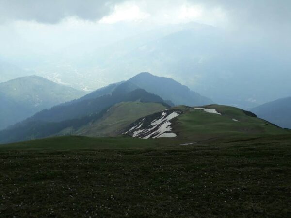
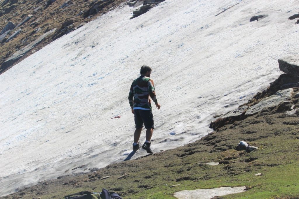
Kedarkantha peak was clearly visible from this point. The remains of winter’s snow below the peak could also be seen. I tried to walk on this steep slope covered with snow but failed.
The summit
The last unfinished part of the mountain was still lying ahead of me but I was feeling totally exhausted.
I couldn’t take more than twenty steps in a row. Twenty steps. Stop. Breathe. Again Twenty steps. Stop. Breathe. And finally, I counted 65 steps and I was on the top of the Kedarkantha mountain.
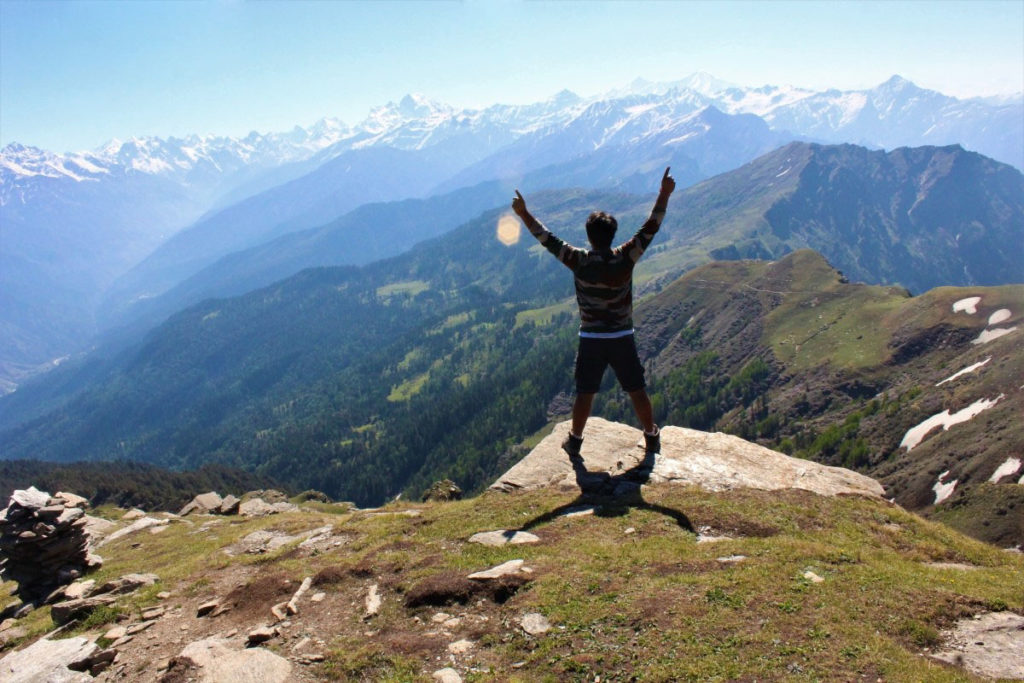
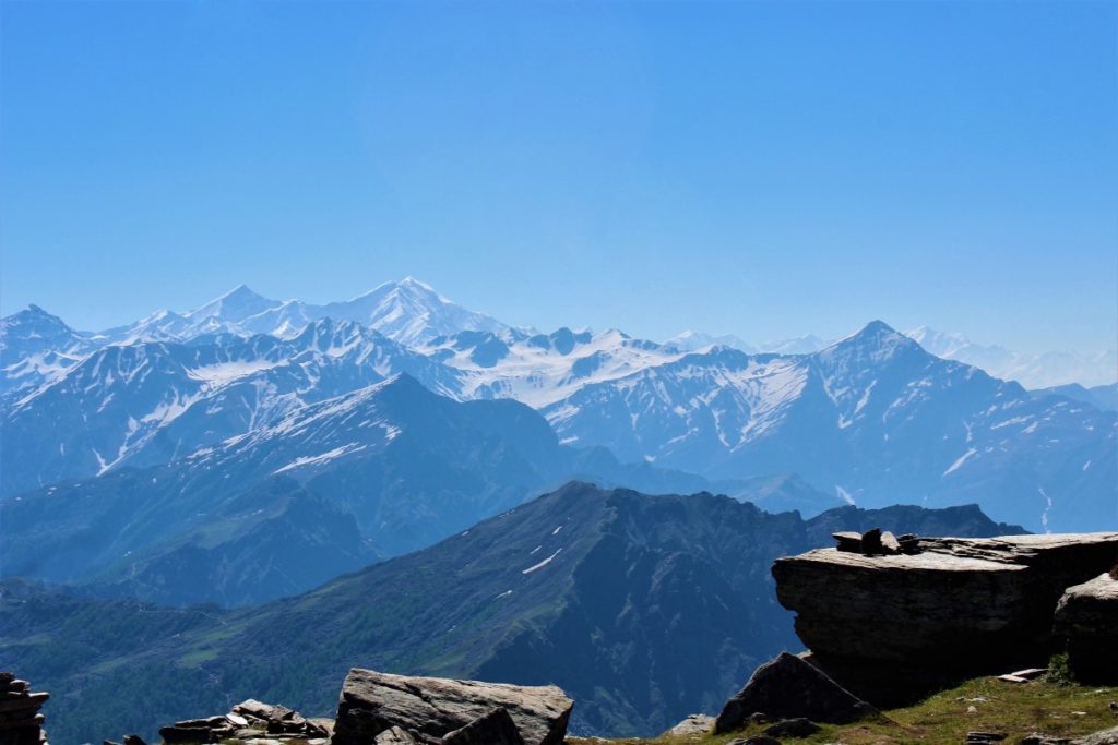
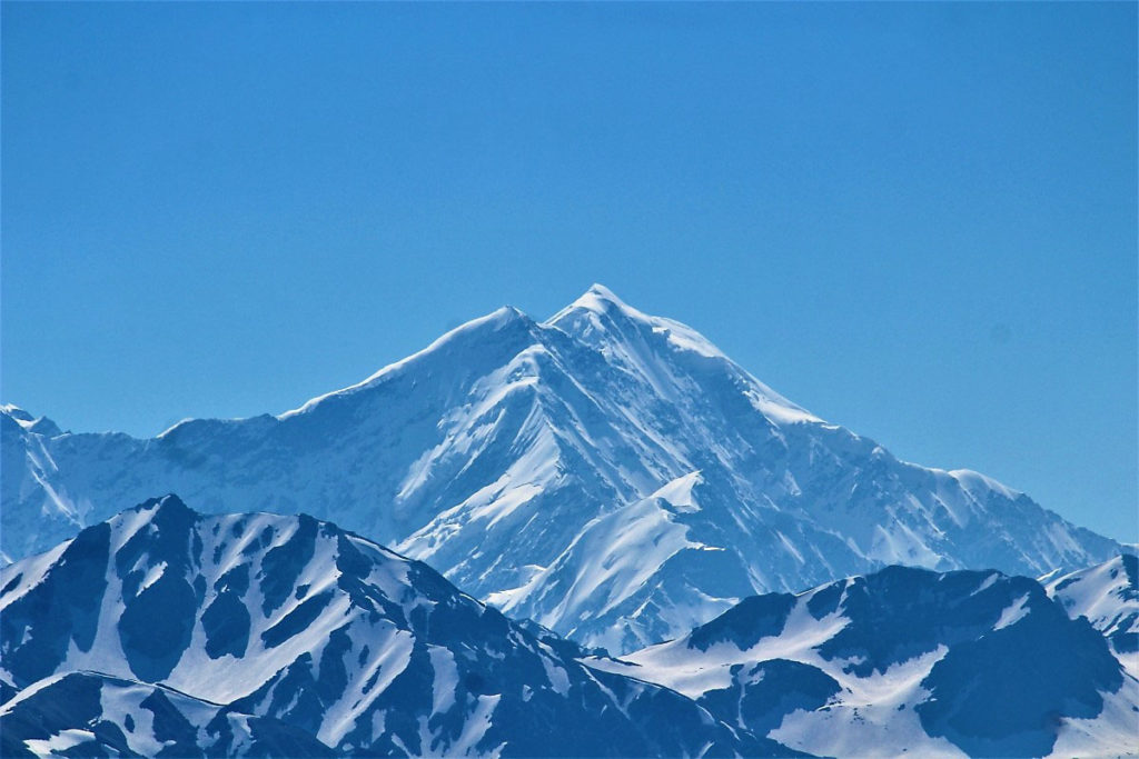
As I looked around, while gasping for breath, I had the most wonderful view in front of my eyes: Over a dozen snow-capped mountains including Bandarpunch massif (literally meaning ‘tail of a monkey,’ an obvious reference to lord Hanuman), with tallest of them rising to an elevation of 6,316 meters, Swargarohini massif (tallest mountain rising up to 6,252 meters) along with others mighty Himalayan peaks. According to the legend, Swargarohini peak leads you to the heaven, making it a sort of a ‘stairway to heaven.’
A low wind was blowing at the top. I stretched my body, removed the jacket, t-shirt, and started doing push-ups. I was surprised to observe that I was feeling really comfortable to do exercise at this elevation.
Manoj had reached the top before me. He announced jokingly, “I reached here at 8.45 am and you reached at 9 am, 15 minutes late.”
If someone sees Kedarkantha peak from the base camp, it appears that only one person can stand on the top. However, the top has space enough for a small shrine of Shiva. We spent half-an-hour on the peak, just watching majestic mountains and taking in the view.
The descent
We started descending at around 9.30 am, from a different route. I was fast enough to leave Manoj behind. Without much difficulty, we returned to the base camp in a couple of hours. We packed the tent and sleeping bags and started walking further downwards. We went down from a different route and passed through two villages. In one of the villages, I rested for about 15 minutes and reached Sankri by 1.15 pm where I handed back the tent, sleeping bags, and mattress to the shopkeeper.
Manoj accompanied me till Mori on the motorcycle where we shook hands, smiled a little, and parted ways. I reached Purola in the evening around 6 pm and met Sohan, who was sitting and chatting with his cousins.
Next day, we left Purola on the bike at 7 am and reached Panchkula by 3.30 pm. It was hot but thankfully there wasn’t much traffic on the road.
I reached home, stepped inside, but in my head I was already planning my next trek.
About the Author

Saurabh
A wildlife enthusiast, trekker and a wanderer, Saurabh loves to explore the Himalayas, mostly alone and by himself. He lives in Panchkula.


